Regional Maps vs World Maps
What distinguishes regional maps from world maps is their acute attention to detail. While world maps try to fit everything onto a single piece of parchment, regional maps take their time to explore every grove, every trail, every shepherd’s hut. Villages, castles, forts, and roads are meticulously depicted, offering an immersive view into the daily life of ancient civilizations. Each regional map is like an open window to a specific piece of the world, capturing the unique features of each region with precision and meticulous attention.
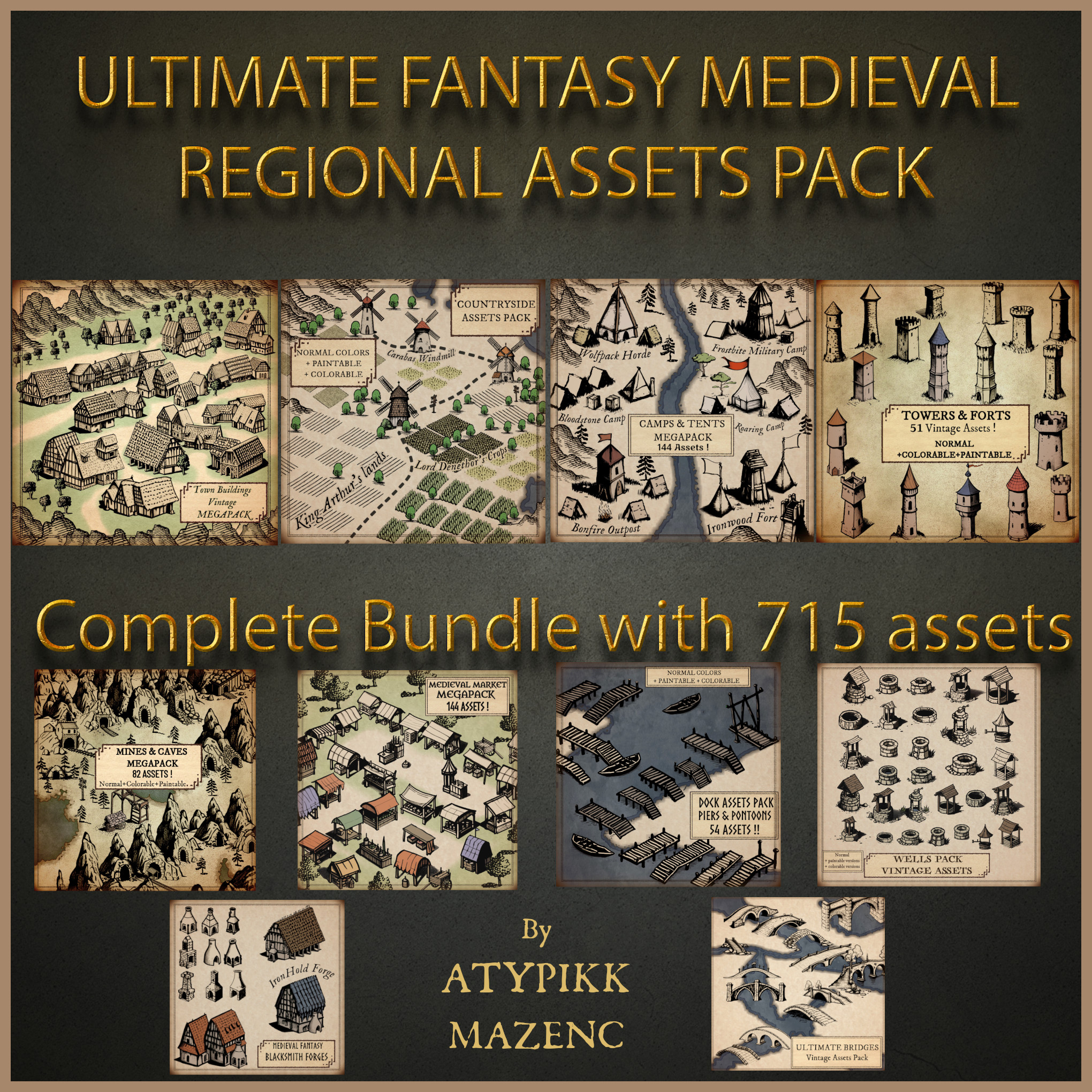
You can take a look at the my regional map assets pack here (click on the image):
But what truly makes these maps special are the little touches of fantasy hidden within them. Ancient cartographers had boundless imagination and didn’t hesitate to add their own flair to the landscapes. Dragons lurk in the mountains, mermaids haunt the coasts, and who knows, perhaps even a troll or two wander through the woods. It’s as if each map were a medieval version of “Where’s Waldo?” where every corner holds a mystery to uncover.
Now, let’s turn to the comparison between regional maps and world maps. It’s a bit like comparing a detailed piece of artwork to a child’s drawing on the fridge. World maps give you an overview of the world, but regional maps take you into the most remote and secretive corners of the world. It’s as if ancient cartographers were explorers armed with quills and ink, determined to map every inch of their beloved land with unparalleled precision and passion.
And let’s not forget the influence of these maps on today’s fantasy worlds. Role-playing game designers and fantasy authors often draw inspiration from these ancient maps to create imaginary worlds as vast as the imagination itself. Houses, caves, campsites, bridges, and ports become essential pieces of the puzzle, adding a touch of realism to worlds where magic and adventure reign supreme. Furthermore, it’s noteworthy to mention in this article that for modern fantasy maps, creators unknowingly borrow heavily from elements of ancient regional maps to integrate into their world maps, such as the detailed representation of certain groups of buildings, caves, or desert dunes.
Happy mapping!


 Warehouse Pack - DungeonDraft Doodelish (Boxes,Sacks)
  Tribal Settlements (Old-school)
  Studies & Research Pack