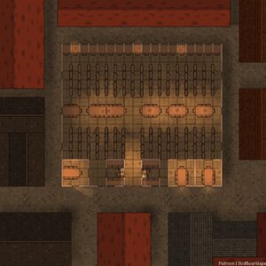
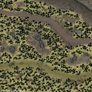
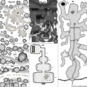
British Isles Detailed Map (made by LoG)
Free
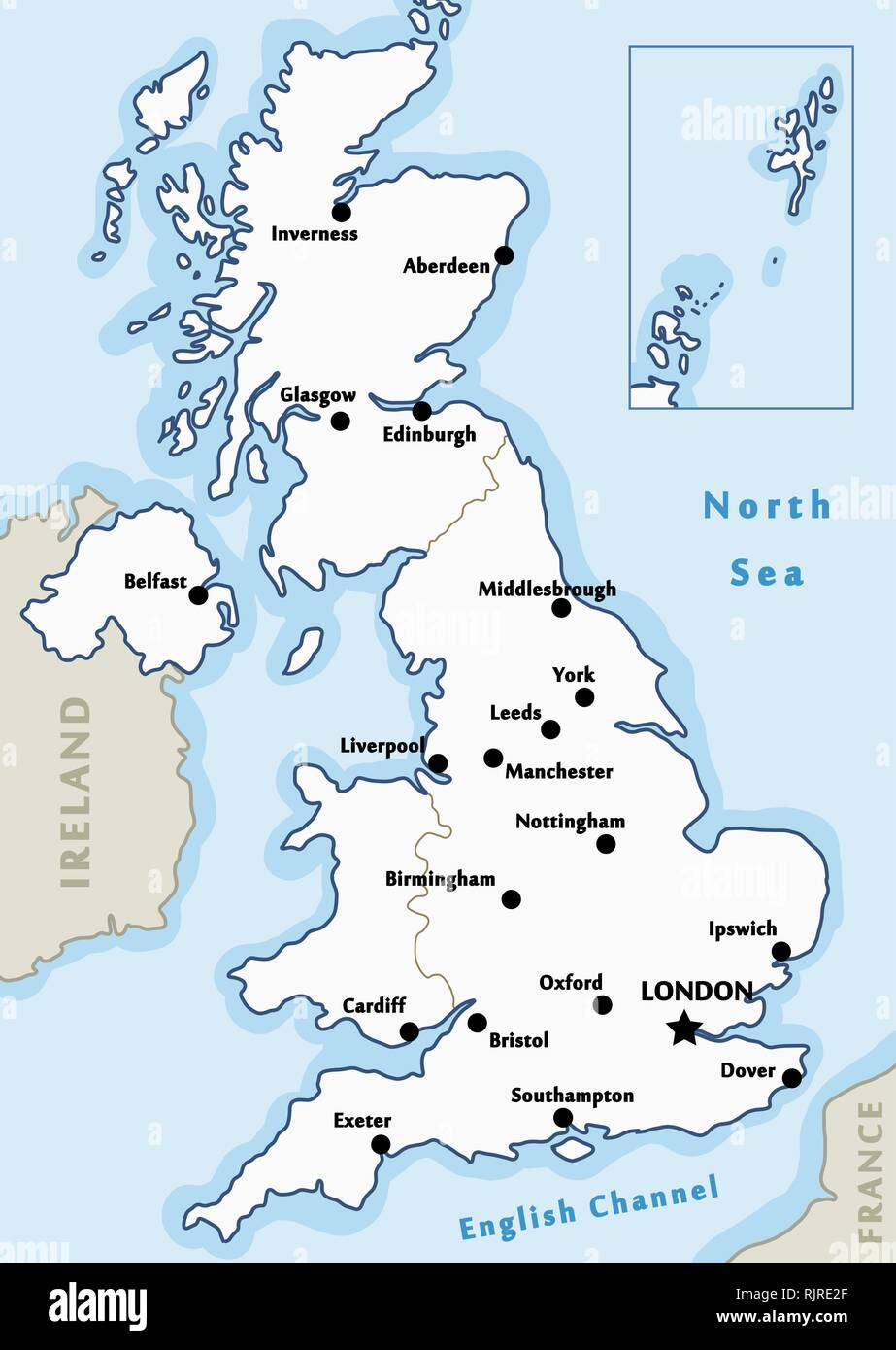
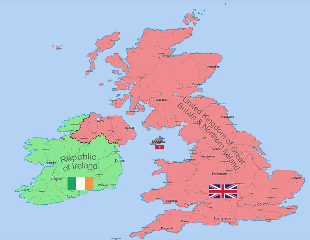
“The British Isles are an archipelago in the North Atlantic Ocean off the north-western coast of continental Europe, consisting of the islands of Great Britain, Ireland, the Isle of Man, the Inner and Outer Hebrides, the Northern Isles (Orkney and Shetland), and over six thousand smaller islands. They have a total area of 315,159 km2 (121,684 sq mi) and a combined population of almost 72 million, and include two sovereign states, the Republic of Ireland (which covers roughly five-sixths of Ireland), and the United Kingdom of Great Britain and Northern Ireland.”
Report Abuse
Description
This is a slightly-more detailed edition of a British Isles map, made specifically for Azgaar’s Fantasy Map Generator. I did not use anyone else’s assets to create this, other than Azgaar’s software itself. Anyone can feel free to use this asset as they wish, make their own content with no credits required! If anyone has any questions or suggestions for changes, please leave in the comments section as I am quite busy so will be unlikely to reply to direct messages. I know there is already another British Isles map on this website, but I personally found the proportions and layers of the map unrealistic to my viewing and have created this map from scratch to my personal liking.
The layers that have been completed include the states, cultures, religions, emblems and burgs. I will be unlikely to complete the military layer and provide realistic routes as this will take a lot of time to do on my own, if anyone else wants to complete this they can create their own continuity asset if they wish. One thing to point out, the cultures and religions situation in Northern Ireland may not be entirely accurate as it was quite difficult to map these due to multiple different sources showing a different result. As everyone knows, mapping this region accurately is quite difficult anyways so I will not be expanding further on Northern Ireland. Similar situation with Wales, I found Wales particularly difficult to re-draw the borders due to the extreme jaggedness not matching up with the cells on Azgaar’s software.
If there are enough requests, I will change the name of the city of “Derry” to “Londonderry”. For now, it will remain.
Will I be creating a separate version with the kingdoms separated? Possibly, if I have the time. Someone else might beat me to it though lol.
Reviews
There are no reviews yet.